Central Command's count of nearly 1,000 commercial transits through the Strait of Hormuz in two months exceeds AIS-derived estimates, exposing how commercial tracking understates real traffic volumes at the world's busiest energy chokepoint.
Advertisement
Advertisement
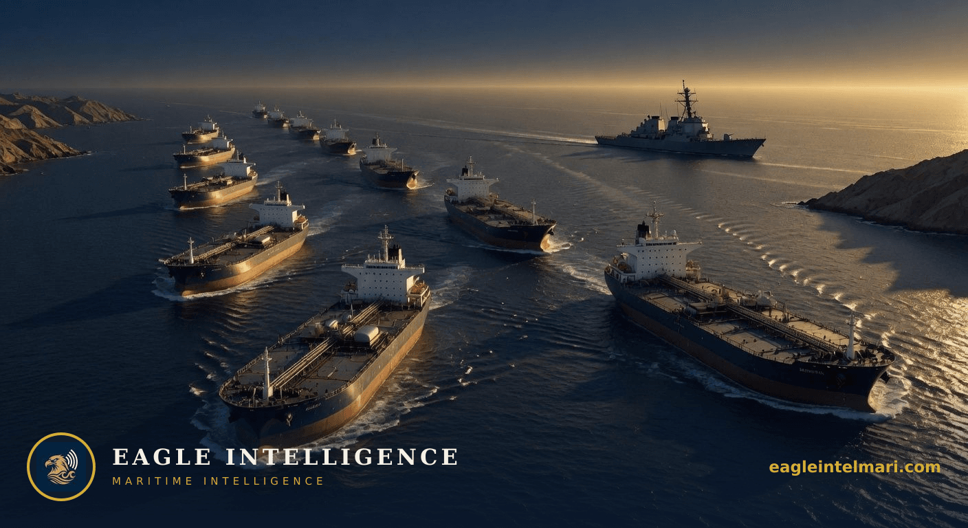
US Central Command has logged nearly 1,000 commercial vessel movements in and out of the Strait of Hormuz over the past eight weeks, a volume that private tracking services relying on AIS transponders have understated. The gap matters because it shows how many operators are either switching off signals or operating in ways that commercial data misses, precisely where any disruption would immediately hit global oil and LNG supply.
The official figure translates to roughly 15–16 daily transits on average, well above the 10–12 that most commercial dashboards report for the same period. Much of the difference stems from vessels that disable AIS near the strait or use spoofing techniques common in high-risk zones. This undercount directly affects voyage planning, because charterers and owners base routing and insurance declarations on incomplete pictures.
Crude and condensate cargoes dominate Hormuz traffic. An extra 300–400 unreported transits over eight weeks implies several million additional barrels moved under the radar. Traders using AIS-derived flow models therefore risk underestimating both available supply and the true concentration of tonnage in a single narrow channel. Any sudden closure or military incident would therefore hit a larger physical volume than current market models assume.
Hull and P&I underwriters price Hormuz cover on reported traffic density and historical incident rates. When actual transits exceed commercial data by 30–40 percent, the probability calculation for collision, grounding or targeted attack rises accordingly. Expect London and Singapore syndicates to widen differentials between declared and undeclared passages within weeks, especially for tankers and LNG carriers that linger in the area.
Seafarers on vessels that deliberately go dark accept elevated risk without the protection of continuous tracking. Flag states that tolerate frequent AIS outages may soon face pressure from classification societies and port-state control to tighten reporting rules. Panama and Liberia, which together flag a large share of Hormuz traffic, could see increased vetting or higher detention rates at European and Asian ports if the pattern persists.
The current discrepancy recalls the months before the 2019 tanker attacks, when AIS gaps preceded a series of limpet-mine incidents. At that time, operators reduced transmissions to avoid Iranian surveillance; the same behavior appears to be returning. Unlike 2019, however, today’s volumes are higher and the fleet includes more very large crude carriers, raising the potential tonnage at risk in any single event.
If regional tensions remain contained, the gap between military and commercial counts will gradually close as operators restore AIS once clear of the strait, keeping war-risk rates stable. A single high-profile incident—mine strike or drone attack—would trigger immediate AIS blackouts across the fleet and push premiums sharply higher within days. Sustained low-level harassment without open conflict would widen the data gap further, forcing charterers to pay scarcity rates for willing tonnage and prompting some owners to reroute via longer Cape voyages.
Advertisement
Advertisement
Live Hormuz transit status and war-risk band.
Live 1–5 shipping war-risk level across monitored chokepoints.
⚠️ Intelligence Disclaimer: This analysis is produced by Eagle Intelligence's AI-assisted automated analysis system and is provided for informational purposes only. See our editorial standards. It is not a substitute for official maritime safety advisories from UKMTO, MSCHOA, IMO, or flag state authorities. Operational decisions should always be based on official guidance and professional judgment. Eagle Intelligence accepts no liability for any loss arising from reliance on this content.
Live chokepoint status, war-risk shifts, and the daily maritime wire, straight to your inbox. Free.
Leave a comment
All comments moderated for quality